Camiño Miñoto Ribeiro
The Miñoto Ribeiro Way is one of the oldest routes linking the north of Portugal with Santiago de Compostela. Its route starts in Braga, has a total length of 173.7 km and continues, for the most part, along the same paths, Roman roads and medieval roads.
Description
This road connected castros and prehistoric settlements, in addition to the abundant megalithic settlements and burial mounds. It includes, among other features, three differentiating elements that give it a specific character of its own: “Nature, Thermalism and Wine”.
Historically, this road is another exceptional route that linked the north of Portugal with Galicia.
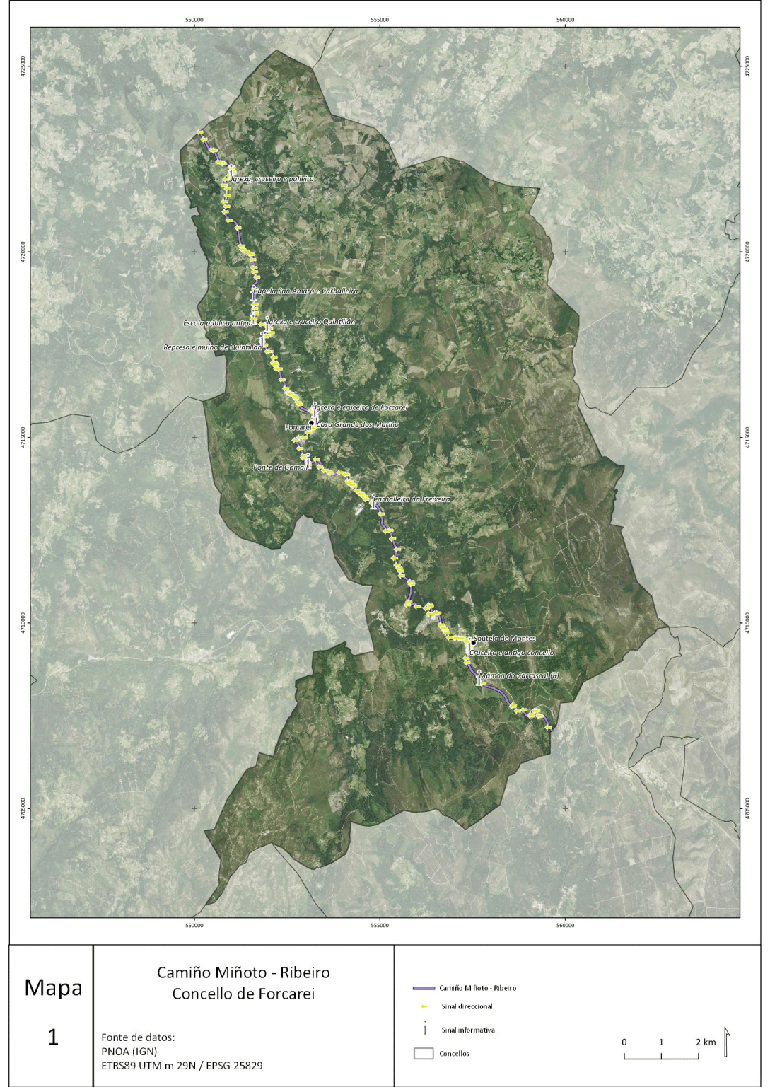
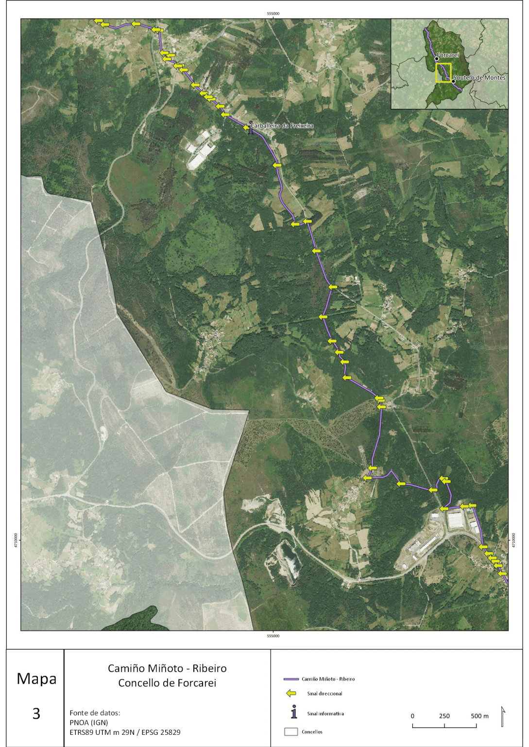
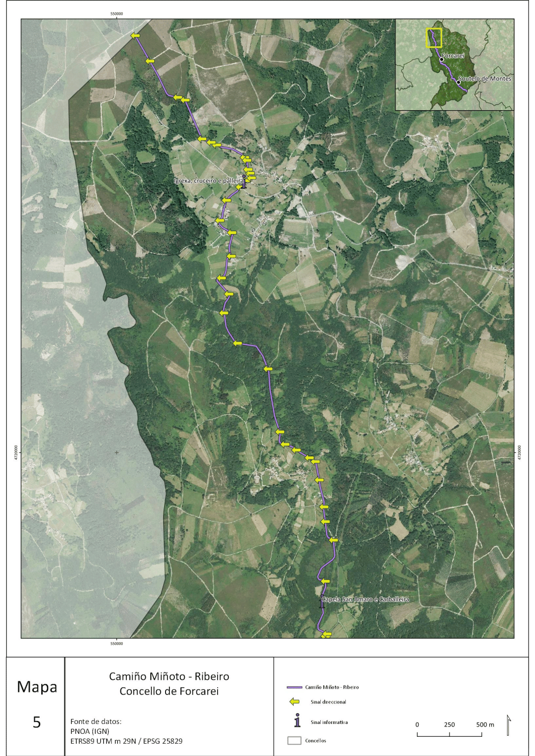
The Miñoto Ribeiro has a route of 25 km within Forcarei, passing through Portela de Lamas ➡️ Soutelo ➡️ Vilapouca ➡️ Ventoxo ➡️ Vilar ➡️ A Freixeira ➡️ Chachafeiro ➡️ Cabanas ➡️ Gaxín ➡️ Forcarei ➡️ Chamosa ➡️ Salgueiro ➡️ As Casetas ➡️ A Carballeira ➡️ Levoso ➡️ Quintillán ➡️ A Rúa and ➡️Barrio.
This is the Inland Route, as opposed to the coastal route via Tui and Valença.
The route has 3 entrances from Portugal to Galicia
- The main itinerary, from Braga towards Vilaverde, Ponte da Barca, Arcos de Valdevez, Monçao and Melgaço crossing the counties of Padrenda, Pontedeva, Cortegada, Arnoia, Castrelo de Miño, Ribadavia, Beade, Leiro, O Carballiño, Boborás, Beariz, Forcarei, A Estrada, Vedra, Boqueixón and Santiago de Compostela.
- Braga, Ponte de la Barca towards Baixa Limia, Lobios and Entrimo, Castro Leboreiro, where it would join the main itinerary.
- Terras de Bato to the vicinity of the village of Lobios, Entrimo and Castro Leboreiro (Portugal), where the main itinerary would join.

Identification and directional sign of the Camiño Miñoto Ribeiro (source: official website of the Camiño Miñoto Ribeiro).
tourism resources
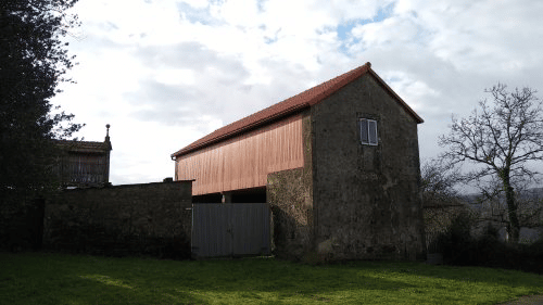
Along the route, a series of tourist resources were identified, both cultural and ethnographic as well as natural, which were analysed with the aim of assessing the relevance of installing informative or interpretative signage along the route. The aim of this signage is to identify and enhance the value of the different resources of the municipality that are located in the vicinity of the route. These resources were evaluated on the basis of their quality, interest, state of conservation, landscape value and distance from the route. Once the assessment had been carried out, 14 resources were selected that were considered to have an informative or interpretative panel, as follows:
- Mámoa do Carrascal
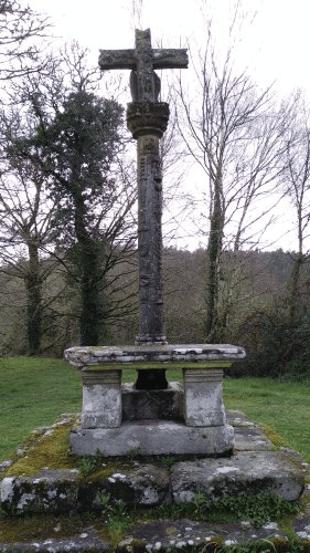
- "Cruceiro" in Soutelo de Montes
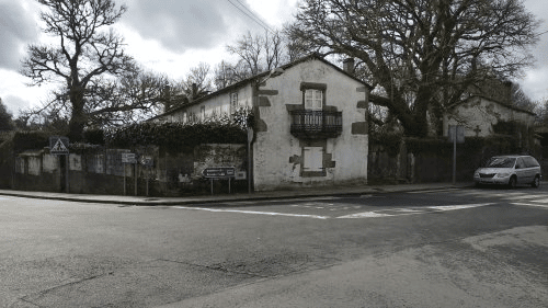
- Old town council in Soutelo de Montes
- Indian villa in Soutelo de Montes
- Church and "cruceiro" of Ventoxo
- Carballeira da Freixeira
- Ponte de Gomail
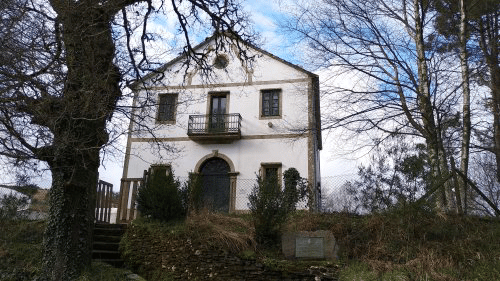
- Casa grande dos Mariño
- Church and "cruceiro" of Forcarei
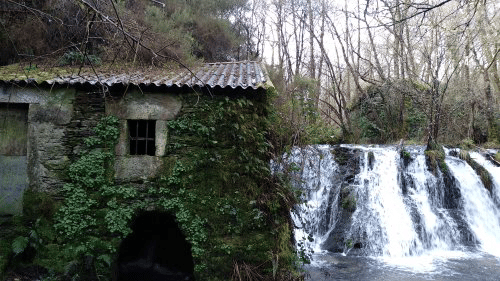
- Quintillán Dam and Mill
- Church and "cruceiro" of Quintillán
- Old public school Rosalía de Castro, (Fundación Galicia Verde.)
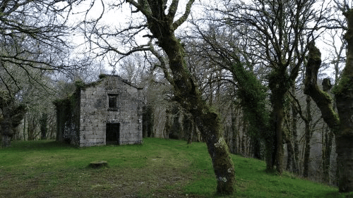
- Chapel of San Amaro and "carballeira"
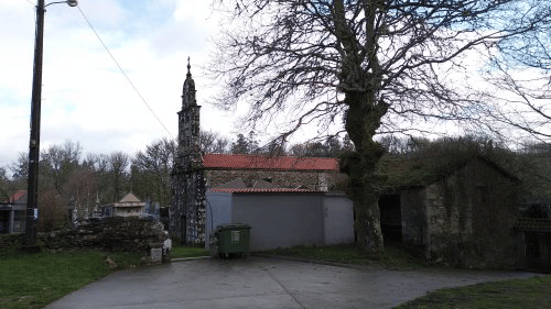
- Church, cruceiro and "Palleira" in Meavía


